- Čertižné
-
Čertižné
(Village)Administration Pays  Slovaquie
Région Région de Prešov District District de Medzilaborce Code postal 067 52 Plaque minéralogique ML Starosta (maire) Alexander Kulik ( SMER )
Mandat: 2013
Démographie Population 390 hab. (31.12.2007) Densité 1,6 hab./km2 Géographie Coordonnées Altitude 438 m Superficie 23 729,2 ha = 237,292 km² Localisation en Slovaquie 
 Čertižné
 Čertižné
Localisation dans la région de Prešov Sources Resultat des élections http://www.e-obce.sk [1] http://www.statistics.sk [2] http://www.slovakregion.sk/ [3] Čertižné (hongrois : Nagycsertész)[4] est un village de Slovaquie situé dans la région de Prešov.
Sommaire
Géographie
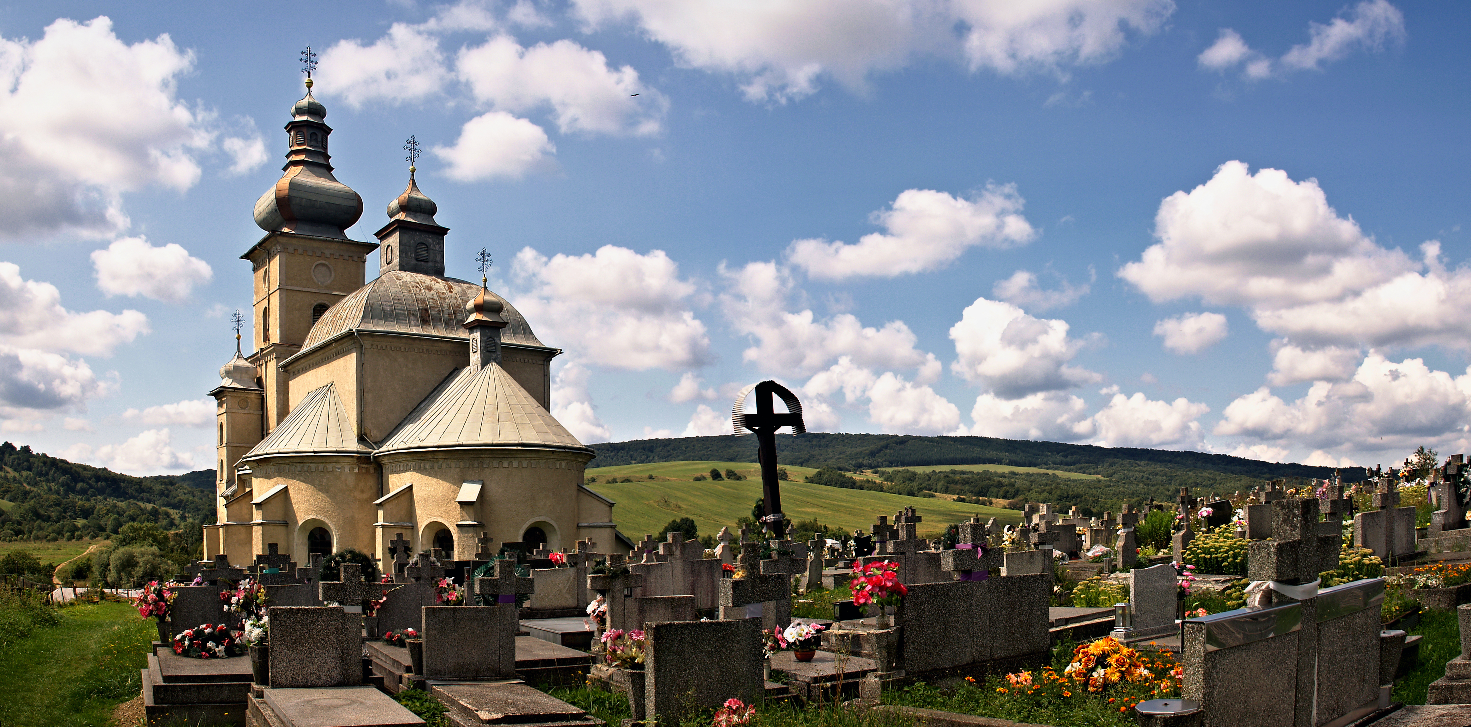
Čertižné est municipalité au Nord-est de la Slovaquie, tout proche du territoire polonais, au pied de crêtes des Carpates. Elle fait partie du District de Medzilaborce dont elle est éloignée de 11 km. Le village se trouve dans une région vallonée, au creux d'une petite vallée, dominé par son église et le cimetière. La route 559 qui y conduit via Habura se termine en cul-de-sac.
Histoire
Première mention écrite du village en 1431[2].
Lieux et monuments
- L'église de rite orthodoxe russe implantée à côté du cimetière.
-
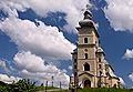
L'église
-
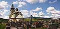
L'église et le cimetière
-
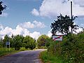
Panneau
Notes et références
- (sk) e-obce.sk. Consulté le 28 janvier 2010
- (sk) (en) Mestská a obecná štatistika SR. Consulté le 28 janvier 2010
- (sk) Slovak region. Consulté le 28 janvier 2010
- (sk) (en) Názvy obcí Slovenskej republiky (Vývin v rokoch 1773 – 1997). Consulté le 28 janvier 2010
Catégories :- Village de Slovaquie
- Village et ville du district de Medzilaborce


Wikimedia Foundation. 2010.