Ňagov
- Ňagov
-
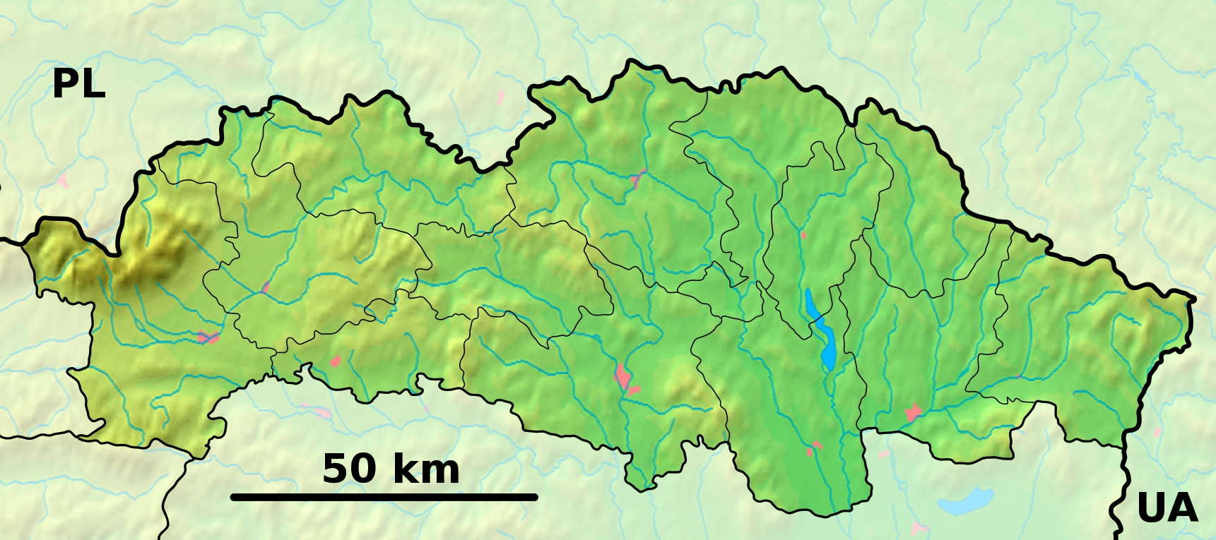
Ňagov est un village de Slovaquie situé dans la région de Prešov.
Histoire
Première mention écrite du village en 1557[2].
Notes et références
Catégories :
- Village de Slovaquie
- Village et ville du district de Medzilaborce
Wikimedia Foundation.
2010.
Contenu soumis à la licence CC-BY-SA. Source : Article Ňagov de Wikipédia en français (auteurs)
Regardez d'autres dictionnaires:
Ňagov — Location of Medzilaborce District in the Prešov Region. Ňagov is a village and municipality in the Medzilaborce District in the Prešov Region of far north eastern Slovakia. History In historical records the vil … Wikipedia
District de Medzilaborce — Medzilaborce Informations Pays … Wikipédia en Français
Krásny Brod — (Village) Administration Pays Slovaquie … Wikipédia en Français
Prešov Region — Geobox | Region name = Prešov category = Region image caption = image caption = symbol = symbol type = etymology = official name = motto = nickname = country = Slovakia country state = region = district = commune = municipality = border = part… … Wikipedia
Medzilaborce — Coordinates: 49°16′15″N 21°54′14″E / 49.27083°N 21.90389°E / 49.27083; 21.90389 … Wikipedia
Medzilaborce District — District Country Slovakia Region (kraj) Prešov Region Area Total 427 km2 … Wikipedia
List of municipalities and towns in Slovakia — Slovakia This is a comprehensive list of municipalities and towns in Slovakia. For lists of towns and municipalities sorted by Regions see the individual articles on Regions. For an outdated list of towns only in Slovakia see also List of towns… … Wikipedia
Oľka — Location of Medzilaborce District in the Prešov Region. Oľka is a village and municipality in the Medzilaborce District in the Prešov Region of far north eastern Slovakia. History In historical records the vill … Wikipedia
Oľšinkov — Location of Medzilaborce District in the Prešov Region. Oľšinkov is a village and municipality in the Medzilaborce District in the Prešov Region of far north eastern Slovakia. History In historical records the … Wikipedia
Čertižné — Location of Medzilaborce District in the Prešov Region. Čertižné is a village and municipality in the Medzilaborce District in the Prešov Region of far north eastern Slovakia. History In historical records the … Wikipedia
 Slovaquie
 Ňagov
Ňagov