Itoman
- Itoman
-
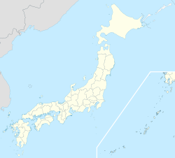
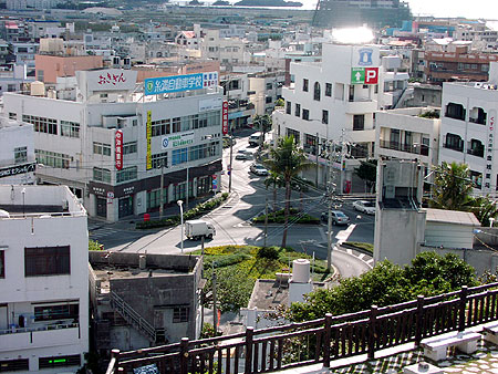
Itoman (糸満市, Itoman-shi?) est une ville d'environ 57 000 habitants, située au sud de la préfecture d'Okinawa et qui fait partie de l'agglomération de Naha (couvrant la partie sud de l'île sur 40 km de long).
Wikimedia Foundation.
2010.
Contenu soumis à la licence CC-BY-SA. Source : Article Itoman de Wikipédia en français (auteurs)
Regardez d'autres dictionnaires:
Itoman — shi 糸満市 Geographische Lage in Japan … Deutsch Wikipedia
Itoman — Original name in latin Itoman Name in other language Ichuman, Itoman, Shionja, Shunja, Sunja, Sunza, itoman, mi man State code JP Continent/City Asia/Tokyo longitude 26.12647 latitude 127.66918 altitude 1 Population 57184 Date 2013 08 07 … Cities with a population over 1000 database
Itoman, Okinawa — Infobox City Japan Name=Itoman JapaneseName=糸満市 Map Region=Kyūshū Prefecture=Okinawa Area km2=46.63 PopDate=January 31, 2008 Population=57,829 Density km2=1240.17 Coords= LatitudeDegrees= 26 LatitudeMinutes= 7 LatitudeSeconds= LongtitudeDegrees=… … Wikipedia
Itoman Shi — Admin ASC 2 Code Orig. name Itoman Shi Country and Admin Code JP.47.1861279 JP … World countries Adminstrative division ASC I-II
Osaruno Oyado Itoman — (Itoman,Япония) Категория отеля: 1 звездочный отель Адрес: 901 0361 Окинава, Itoman … Каталог отелей
Tomishiro — 豊見城市 Tomigusuku shi Geographische Lage in Japan … Deutsch Wikipedia
Rail transportation in Okinawa — In 2005, the Okinawa Monorail is the only rail line providing rail transportation in Okinawa Prefecture, Japan. In the past, Okinawa Island had railroad, trolley, and horse drawn streetcar service. Also, Minami Daito and other islands had rail… … Wikipedia
JP-47 — Karte Basisdaten Verwaltungssitz: Naha Region: Kyūshū … Deutsch Wikipedia
Okinawa — Karte Basisdaten Verwaltungssitz: Naha Region: Kyūshū … Deutsch Wikipedia
Tomigusuku — shi 豊見城市 Geographische Lage in Japan … Deutsch Wikipedia