Dargov

Dargov
Dargov
(Village)
Administration
Pays Drapeau de Slovaquie Slovaquie
Région Région de Košice
District District de Trebišov
Code postal 076 61
Plaque minéralogique TV
Starosta (maire) Štefánia Bojtimová ( SMER )

Mandat: 2013

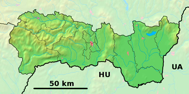
Démographie
Population 555 hab. (31.12.2007)
Densité 25,4 hab./km2
Géographie
Coordonnées 48° 43′ 53″ Nord
       21° 35′ 05″ Est
/ 48.731389, 21.584722
Altitude 259 m
Superficie 2 187,9 ha = 21,879 km²
Localisation en Slovaquie
Voir la carte physique
Localisation de la ville
Dargov
Voir la carte administrative
Localisation de la ville
Dargov
Localisation dans la région de Košice
Voir la carte physique
Localisation de la ville
Dargov
Voir la carte administrative
Localisation de la ville
Dargov
Sources
Resultat des élections
http://www.e-obce.sk [1]
http://www.statistics.sk [2]
http://www.slovakregion.sk/ [3]

Dargov (hongrois : Dargó[4]) est un village de Slovaquie situé dans la région de Košice.

Histoire

Première mention écrite du village en 1458[2]. Révolte paysanne en 1831[5]. En 1944, une importante bataille entre les russes et les allemands, plus de 20 000 morts[5].

Notes et références

  1. e-obce.sk
  2. a et b Mestská a obecná štatistika SR
  3. region
  4. http://slovnik.juls.savba.sk/?d=obce
  5. a et b (sk) Ottova praktická encyklopédia Slovensko, vol. 1, Český Těšín, 2008, 672 p. (ISBN 978-80-7360-668-8), p. 84 

Wikimedia Foundation. 2010.

Contenu soumis à la licence CC-BY-SA. Source : Article Dargov de Wikipédia en français (auteurs)

Игры ⚽ Нужно решить контрольную?

Regardez d'autres dictionnaires:

  • Dargov — Coordinates: 48°44′N 21°35′E / 48.733°N 21.583°E / 48.733; 21.583 …   Wikipedia

  • Trebišov District —   District   Country Slovakia Region …   Wikipedia

  • D1 (Slowakei) — Vorlage:Infobox hochrangige Straße/Wartung/SK D Diaľnica D1 in der Slowakei …   Deutsch Wikipedia

  • District de Trebišov — Trebišov Informations Pays …   Wikipédia en Français

  • Dargovpass — x Dargovský priesmyk Kriegsdenkmal am Dargovpass …   Deutsch Wikipedia

  • Autoroute slovaque D1 — | Autoroute slovaque D1 Longueur : 511 km …   Wikipédia en Français

  • Dargovských Hrdinov — (Quartier) Localisation du quartier de Dargovských Hrdinov à Košice …   Wikipédia en Français

  • Košice Region — Geobox | Region name = Košice other name = category = Region image caption = image caption = symbol = symbol type = Coat of arms etymology = official name = motto = nickname = country = Slovakia country state = region = district = commune =… …   Wikipedia

  • Eastern Slovak Hills — The East(ern) Slovak Hills (Slovak: Východoslovenská pahorkatina ), also translated as Eastern Slovak Upland, is the higher, mountain like part of the Eastern Slovak Lowland. It is a strip of hilly land surrounding the Eastern Slovak Flat along… …   Wikipedia

  • Motorway D1 (Slovakia) — Infobox European road marker eroad= length km=271 plalength=517 km starting terminus= in Bratislava junction= ending terminus=M06 border with Ukraine (planned) countries=Slovakia regions=Bratislava Region, Trnava Region, Trenčín Region, Žilina… …   Wikipedia

Share the article and excerpts

Direct link
Do a right-click on the link above
and select “Copy Link”